
Marine cartography: history, evolution and characteristics
Nautical cartography focuses on the graphic representation and description of the geographic and geological characteristics of the oceans, seas, coasts and adjacent areas.
Over the years, it has been acquiring greater importance, as it is very important for navigation and maritime transport.
Its main purpose is to provide detailed information to facilitate the safe navigation of vessels, as well as to support maritime activities such as fishing, underwater exploration, ocean engineering and scientific research. This information can be found on the nautical chart.
What is a nautical chart?
It is a specific type of map or chart used in maritime and river navigation. These charts are designed to provide accurate information about water features, coastlines, ocean depths, underwater obstacles, buoys, lighthouses and other important navigational features.
Marine cartography is essential for mariners, allowing them to plan safe routes, avoid hazards and reach their destination efficiently.
The information found on a nautical chart is as follows. The primary thing, which is what most sailors use it for, is because it provides you with the necessary aids to navigation, such as information about lighthouses, buoys, beacons and other devices used to mark safe routes or signal hazards.
In addition, this chart is marked:
- Shorelines
- Depth of water.
- Underwater topography and other geological formations.
- Currents and tides.
- Information on the sea floor.
Nautical charts can be distributed in analog format, such as paper charts, or digitally, and are available from a variety of official and private sources. They are created by national hydrographic agencies and other specialized entities.
With the advancement of technology, marine cartography has also been digitized, allowing its use in GPS navigation systems and electronic charting software. These electronic charts are increasingly common on modern vessels, complementing or replacing traditional paper charts.
The International Convention for the Safety of Life at Sea (SOLAS) establishes that ships are required to have nautical charts of the places where navigation is usually carried out. Aware of the technological advances, the International Maritime Organization (IMO) authorizes the replacement of paper charts by electronic charts of the ECDIS system, being equally valid for navigation.
History and evolution of marine cartography
Nautical cartography has a long history dating back thousands of years. Ancient civilizations, such as the Egyptians, Babylonians and Phoenicians, made the first graphic representations of coasts and marine areas.
During the Middle Ages, the Arabs and the Chinese made significant advances on nautical charts, both terrestrial and marine.
With the advent of the compass and other navigational instruments, marine cartography became more sophisticated.
Nautical maps began to include information on sea currents, depths and safe routes for navigation.
From the 13th century onwards, European explorers, such as Marco Polo and Christopher Columbus, undertook voyages that expanded knowledge of sea routes and coastlines. This led to the creation of more accurate maps.
The 16th century also saw a breakthrough with the introduction of more accurate cartographic projections, allowing for more precise representations of marine areas.
It was from the 18th-19th century, the modern era, when hydrographic agencies were established that played a crucial role in the standardization and improvement of marine cartography. For it benefited greatly from advances in technology, such as the telescope, the sextant and accurate marine chronometers. This led to greater accuracy in determining longitude and latitude, which was reflected in more accurate maps.
Since the last century, with the advent of technologies such as sonar, satellites and global positioning systems (GPS) revolutionized marine data collection.
Nautical charts became digital, allowing the creation of highly accurate navigation systems, as we know them today.
Characteristics of nautical cartography
Marine cartography has specific characteristics that distinguish it from other types due to the particular needs and challenges associated with navigation.
- Details for Navigation: As mentioned above, nautical charts focus on providing specific details for navigation, such as water depths, ocean currents, buoys, lighthouses and other elements crucial for safety and route planning.
- Water Bodies: Marine cartography focuses on depicting oceans, seas, lakes, rivers and coastal areas, while other forms of cartography may cover terrestrial areas.
- Three-dimensional representation: Because bodies of water have three-dimensional relief (including the seabed), marine charts often include information on underwater topography, such as seamounts, canyons, and ocean trenches.
- Depths and Bathymetry: One of the most distinctive features of nautical charts is the depiction of ocean depths and bathymetry, which allows navigators to know variations in the seabed and avoid dangerous areas.
- Electronic Charts and GPS: They can be integrated with global positioning systems (GPS) to provide real-time information and technology-assisted navigation.
- International Standards and Organizations: There are specific international standards for marine cartography, and agencies such as the International Hydrographic Organization (IHO) oversee the production and quality of nautical charts worldwide.
- Continuous Updates: Because marine conditions can change over time due to factors such as sedimentation, erosion, and changes in shipping routes, nautical charts are updated on a regular basis to reflect these modifications.
- Use of Specific Cartographic Projections: To represent the curved surface of the Earth on a plane, nautical charts use specific cartographic projections, such as the Mercator projection, which is suitable for navigation along routes of constant latitude and longitude.
- Variable Scales: Nautical charts can have variable scales to suit different regions and detail requirements, from wide-area navigational charts to detailed charts of harbors and bays.

Who uses nautical charts
Nautical cartography is used by a variety of professionals who are involved in maritime, scientific, management and planning activities.
Mariners and Navigators: Ship captains, sailors, and navigators use nautical charts to plan safe routes, avoid hazards, and reach their destinations efficiently.
Fishing boats: Fishermen use marine charts to identify fishing areas, know the depths and understand the topography of the seabed, which helps them choose the best places for their activity.
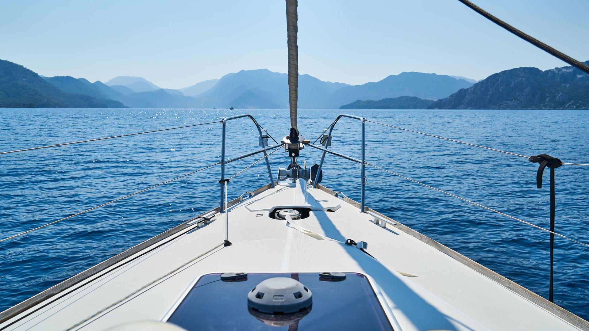
Nautical Tourists: Nautical tourism enthusiasts, such as recreational boaters and cruisers, use marine charts to plan voyages and cruises, helping them discover safe and scenic destinations.
Environmental Management: Organizations in charge of environmental conservation and protection use nautical charts to study marine ecosystems, identify marine protected areas in order to program a marine biodiversity conservation system.
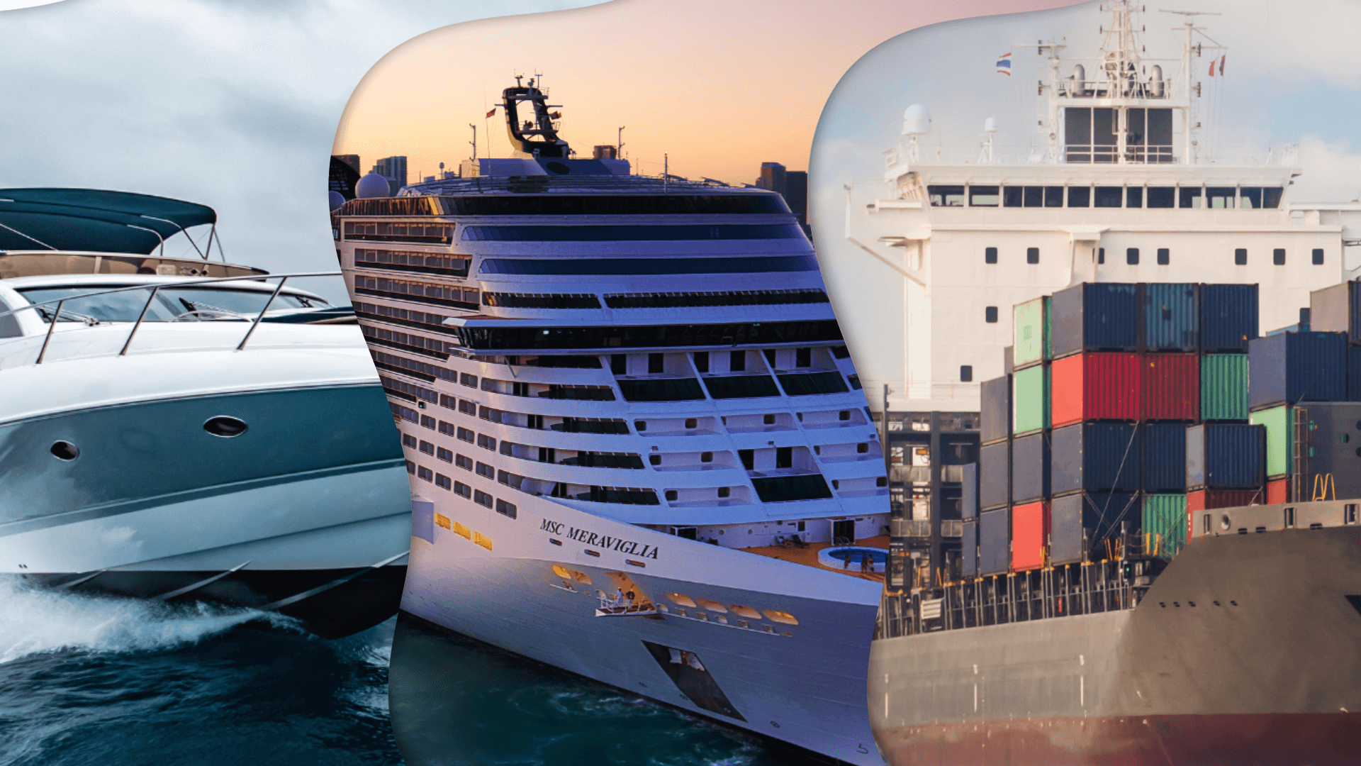
Maritime Industry: Companies and professionals in the maritime industry, such as shipping companies, shipping lines and logistics, use nautical charts to plan efficient and safe routes for the maritime transport of goods.
Scientific Researchers: Marine scientists and oceanographers use nautical charts to plan research expeditions, identify areas of scientific interest and study marine ecosystems.

Government and Maritime Authorities: Government agencies responsible for maritime and coastal safety and environmental protection use marine charts to regulate and coordinate activities that may occur under the marine ecosystem they govern.
Coastal Engineers and Planners: These use nautical charts to design and plan coastal and maritime infrastructure, such as ports, harbors, harbors, docks and jetties.
In short, marine cartography is very important for everyone, but especially for a wide range of activities and professions related to the sea and oceans. Logically, it is used by individuals and organizations around the world to conduct safe and sustainable operations in the marine environment.


_v2.svg)
_v2.svg)


_v2.svg)
